

By Gu Yekai, People’s Daily
From autonomous tractors in northeastern China to drone-powered crop management in the Yangtze River Delta, China’s BeiDou Navigation Satellite System (BDS) is revolutionizing agriculture through precision farming and intelligent operations.
Integrated across every agricultural stage, from plowing and planting to field management, harvesting, and transportation, BeiDou technology enhances boosting operational efficiency, reduces labor costs, and accelerates the modernization of China’s farming sector.
According to an expert from the Global Navigation Satellite System and Location Based Services Association of China (GLAC), BeiDou’s agricultural applications are evolving beyond basic navigation to full industrial-chain intelligence, significantly improving both productivity and resource efficiency.
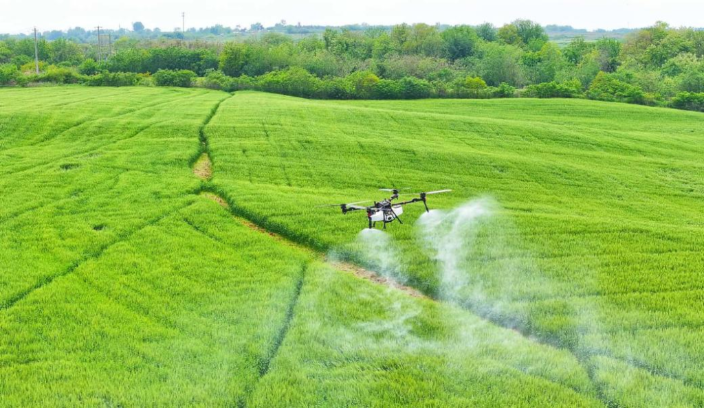
At a family farm in Hai’an, east China’s Jiangsu province, plant-protection drones equipped with the BDS manage thousands of mu (about 667 square meters) of wheat fields. Operators simply tap smartphone commands to activate pre-programmed spraying routes.
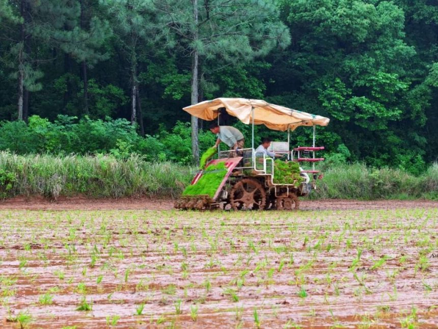
In Dandong, east China’s Liaoning province, farmers input field coordinates into tablets to guide self-navigating agricultural machinery.
Behind these applications is the rapid expansion of China’s new digital infrastructure.
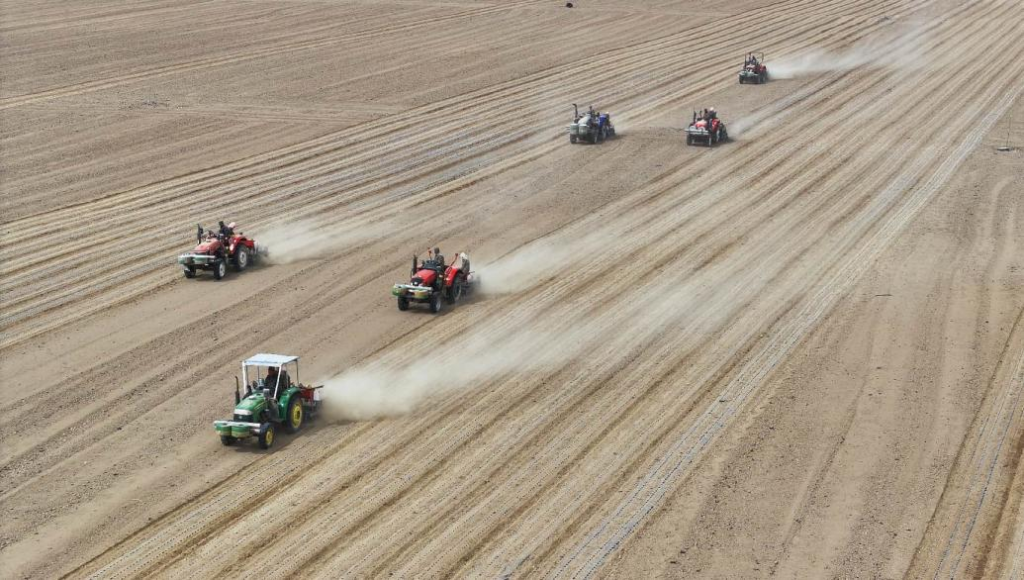
Take precision agriculture as an example. In scenarios such as autonomous tractor driving, precision tillage, uniform seeding, and variable-rate fertilization, centimeter-level positioning accuracy is reshaping traditional farming practices, where even slight deviations in plowing could hurt crop yields.
How is such precision achieved?
“We have established more than 5,000 ground-based augmentation reference stations nationwide, continuously providing positioning benchmarks and real-time correction services for agricultural machinery,” said Yang Zhangbing, general manager of the intelligent driving division at SinoGNSS, a positioning devices provider based in Shanghai.
When operating in the field, machinery equipped with BeiDou smart terminals receives not only satellite navigation signals but also high-precision differential data from nearby augmentation stations. Through fast computing and error correction, the system delivers real-time centimeter-level positioning, allowing machinery to accurately determine its location and maintain perfectly straight operating routes.
In recent years, satellite-based augmentation services have further expanded precision farming into remote regions without access to ground-station signals.
“Satellite-based augmentation uses signal transponders carried by geostationary satellites to broadcast correction information to users, improving the positioning accuracy of satellite navigation systems,” explained Chen Jinpei, CEO of SpatiX, a global leader of spatiotemporal intelligence.
“In regions such as northeastern China and Xinjiang Uygur autonomous region, we can now achieve centimeter-level positioning within two minutes, and across most areas within five minutes. Straight-line and inter-row operating accuracy exceeds 2.5 centimeters, enabling tractors to plow and harrow fields much more precisely,” Chen added.
Beyond high-precision positioning, the BDS is increasingly integrated with remote sensing, geographic information systems, the Internet of Things, and big data — effectively giving farmland a “smart eye” and shifting agricultural management from extensive practices to refined, data-driven care.
For example, multispectral remote sensing inspections by BDS-linked drones can quickly identify differences in crop growth and predict areas vulnerable to pests and diseases, allowing risks to be addressed early.
Rice-transplanting quality inspections, meanwhile, combine machine learning and computer vision technologies to detect missing seedlings during planting operations, uploading real-time data to cloud platforms to support replanting and quality control.
“We are also exploring BDS-based digital maps that allow underlying field data to be shared across different agricultural machines,” Yang said. He explained that physical weeding equipment can then follow the exact planting trajectories recorded by rice transplanters to raise efficiency. During harvest, combines can also automatically follow previous operational routes, further reducing labor costs.
According to statistics from the GLAC, China has cumulatively deployed more than 2.7 million BeiDou terminal devices in the agricultural sector.
The widespread adoption of satellite navigation as a “new farming tool” for Chinese farmers has been made possible by coordinated support across the entire industrial chain and ecosystem.
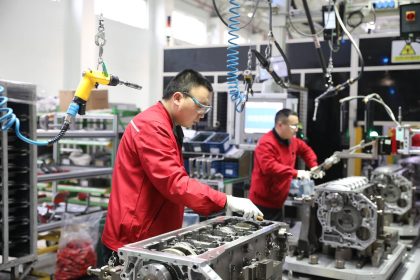
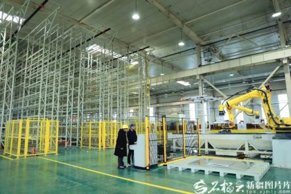
In recent years, China has continued making breakthroughs in independently developed BeiDou chips, integrated communication-navigation-sensing technologies, and algorithm optimization. The BeiDou industry now possesses full-chain production capabilities spanning chips, modules, and terminal equipment, providing strong support for the large-scale integrated application of BeiDou technologies.
At the same time, the large-scale rollout of the BDS also relies on the coordination of the entire industrial chain. At present, many agricultural machines in China have undergone intelligent upgrading based on BeiDou technology.
“Thanks to the BDS, agricultural machinery location data can connect directly to our IoT platform,” said Wang Liying, head of the information department at FMWORLD, a leading farming machine manufacturer of China.
“This allows us to quickly coordinate spare parts and service personnel nationwide, ensuring timely, efficient technical support during peak spring plowing and autumn harvest seasons,” Wang added.